
Ro-Weather outlooks are automated, not official warnings. In the UK, follow the Met Office.
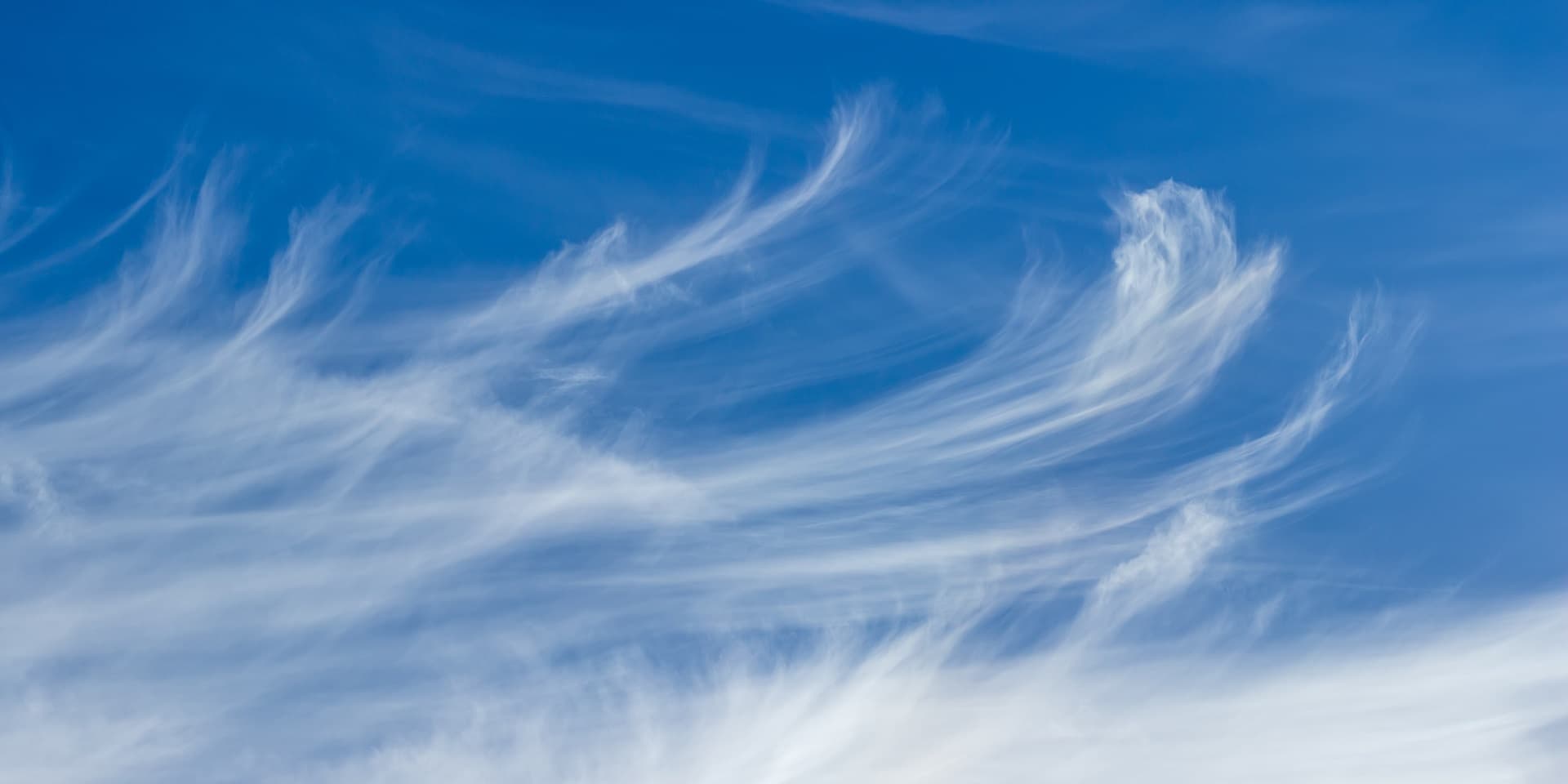
Cloud guide
Feathery Ice Crystal Clouds
Altitude
20,000+ feet (6+ km)
Highest common cloud type
Composition
Ice crystals only
Never water droplets
Weather Signs
Change coming within 24 hours
Old weather adage rule
Cirrus clouds are delicate, feathery clouds composed entirely of ice crystals that form at very high altitudes (above 20,000 feet). They appear wispy and transparent, often called "mare's tails" due to their flowing appearance. Cirrus clouds are often the first sign that a weather change is approaching, as they typically precede warm fronts and weather systems by 24-48 hours.
Fibrous cirrus with a continuous, veil-like appearance covering areas of the sky.
The classic "mare's tail" cirrus with curved, hook-like appearance from wind shear.
Thin, thread-like strands of cirrus clouds with very little structure.
Cirrus with small turrets or towers indicating instability at high altitudes.
The old sailor's saying "Mackerel sky, mackerel sky - not long wet and not long dry" refers to patterns of cirrus clouds that indicate changing weather. When cirrus clouds appear in fish-scale patterns, significant weather changes typically occur within 24 hours.
 Ro-Weather